The Mystery of the Santa Fe-SP Connection At Emeryville
Author: TMer
Date: 12-17-2020 - 11:10
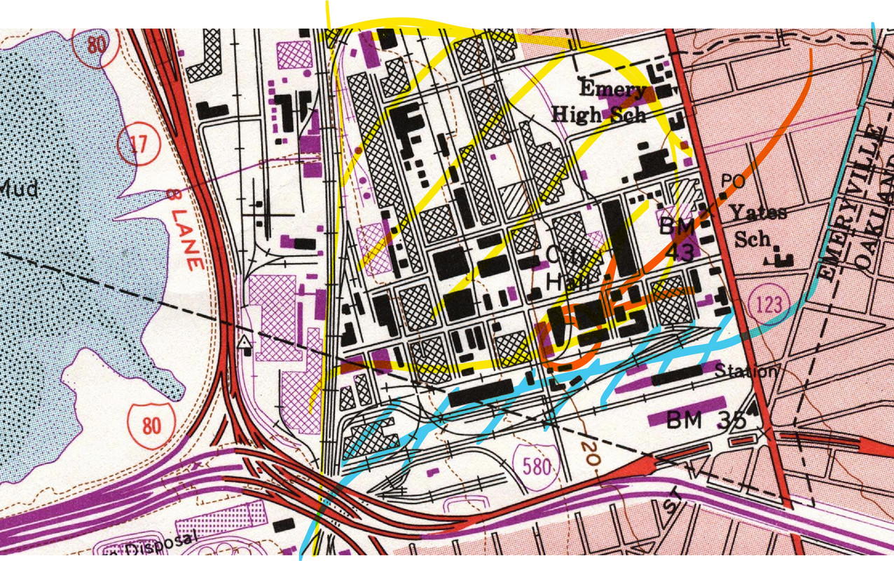
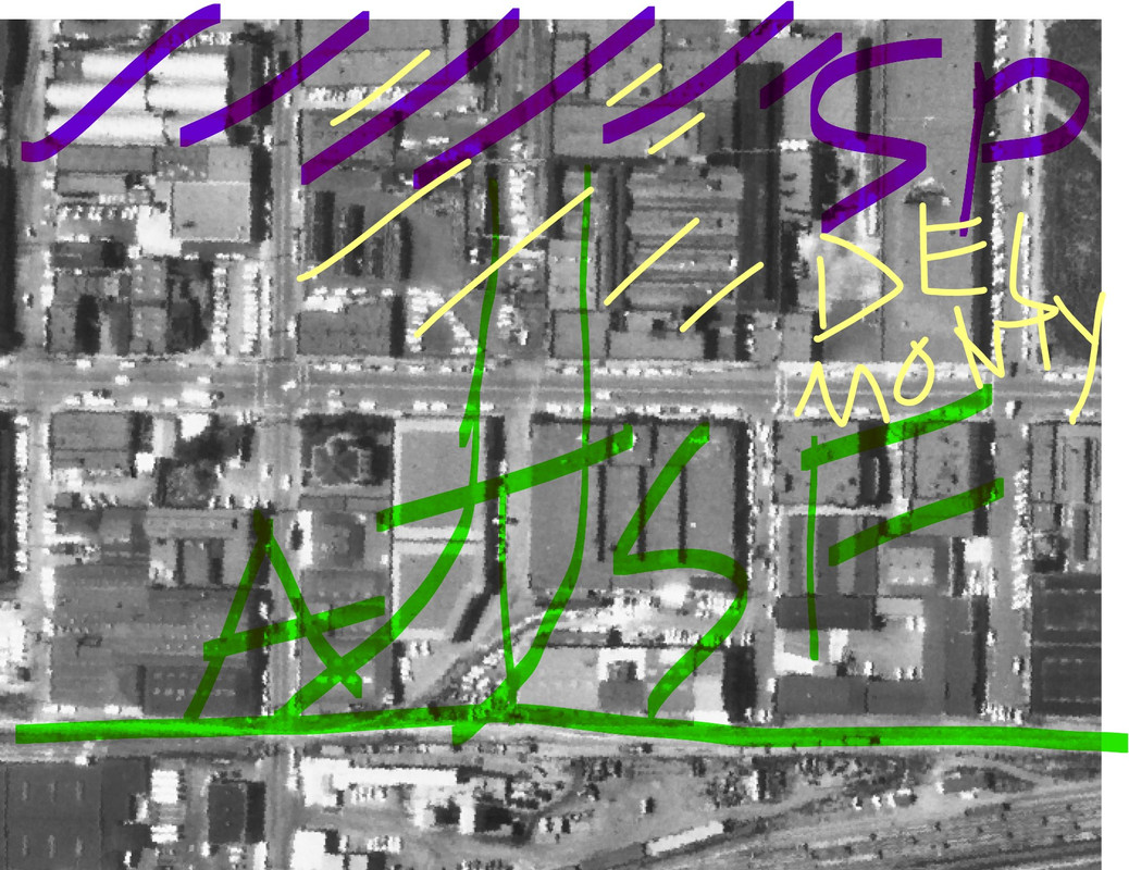
I was perusing the maps of the USGS and the aerial photographs in the Emeryville region earlier this week and came across an industry where SP's Emeryville industrial zone connected, theoretically at least, to the Santa Fe. This was at the Del Monte Plant on the block surrounded by Hollis, 45, Watts, and Park Avenue.
The mystery is where exactly the Santa Fe ended and the SP began and where did they overlap. Was it at the Del Monte plant? Or was it on the other side of Park? Or did the Santa Fe have access under joint drill track agreement to a larger portion of the SP's Emeryville industrial zone?
Another interesting reminder that the past is never gone, it's not even past! Although in this case they have torn out all the buildings and tracks and even gotten rid of some of the streets.